I Got Accepted as an onX Offroad Trail Guide
And Now There’s a 30-Day Clock Ticking…
I opened my inbox, saw the Trail Guide acceptance, and immediately did the same thing I do when I hear an unfamiliar rattle in the Cruiser. I got excited, then I got suspicious, then I started looking for the part where I’m about to learn something the hard way.
So, I dove in like I always do. I opened two browser tabs: one for onboarding, one for research.
New Trail Guide? Sign up for Circle.
Circle.so, for anyone who hasn’t encountered it yet, is basically a private clubhouse for people who are all trying to do the same thing without stepping on each other’s bumpers. I posted my little Trail Guide bio and an intro in the “Start Here” forum.
Folks chimed in from Colorado Springs, northern Georgia, all over. It felt like walking into a new shop where everyone already knows where the 10mm is kept.
Now the program rule is simple: I need to map and submit one trail within 30 days to stay in.
I love deadlines that are close enough to feel like a dare.
What is onX, exactly?
If you’ve been living under a rock, onX is one of the largest offroad mapping apps in the world.
It started in Missoula, Montana, and built its reputation on one core promise: help people know where they stand. Literally, in the land-ownership sense, and later in the “how do I not get lost out here” sense. They’ve grown into a suite of outdoors navigation apps, with different flavors for different kinds of dirt (hunting, off-road, backcountry, fishing).
They’re also not a scrappy little garage project anymore.
onX has raised significant funding and has taken outside investment over the years, including a Series B round led by Summit Partners in 2022 and a strategic investment announced with growth equity firm TCV in 2025.
None of that is automatically “good” or “bad.” It just means the stakes are different now. Growth changes incentives. Incentives change products. Products change behavior. Behavior changes trails.
That last part is why I’m taking the Trail Guide thing seriously.
So, what’s the Trail Guide program?
On the off-road side, onX has two big buckets of trail information:
- Community reporting, where regular users can submit trail reports or flag issues.
- “Guided Trails,” which onX says are scouted and documented by their Trail Guides with photos, descriptions, and difficulty ratings.
That second bucket is what I just got accepted into.
The stated goal is pretty wholesome: inspire people to get outside, equip them to off-road responsibly, and help protect trails for the future.
A Trail Guide is a human being who turns “I drove a road” into “here’s what you need to know before you do.”
The genuinely good stuff
I’ve used onX long enough to know why people like it.
MVUM access in one place.
onX Offroad highlights US Forest Service (USFS) Motor Vehicle Use Maps (MVUMs) as part of the product, which matters because MVUMs are where “it’s a road” becomes “it’s a road you’re allowed to be on.”
Offline maps that don’t turn into a blank panic screen.
The app emphasizes offline access to trail descriptions, land boundaries, and layers once you’ve saved your map areas. That’s a big deal when your signal disappears faster than your confidence.
Dispersed camping, with an official backbone.
onX Offroad advertises USFS-verified dispersed camping data integrated into a map layer for National Forest land. That’s the kind of thing that can keep people from “accidentally” camping where they shouldn’t.
If mapping tools can reduce the amount of wandering, guessing, and “we didn’t know,” they can reduce damage.
That’s the optimistic version of the story, and I still believe it.
The stuff worth squinting at
Here’s the part where I talk myself down from pure hype.
1) Maps don’t just describe places, they change them
This isn’t unique to onX. It’s the “digital guidebook” problem.
When an app makes a route easier to find, it also makes it easier to overuse. That’s been a big conversation in the hunting world with onX in particular: access is good, but crowding and pressure are real, and the data people generate becomes valuable in ways most users don’t think about when they drop a pin.
Off-road trails have the same vulnerability. Traffic concentrates impact. Impact triggers closures. Closures punish the people who were trying to do it right.
So, if I’m going to contribute to a system that helps people find places, my job is also to help people not wreck them.
That means being picky about what gets highlighted, how it’s described, and what warnings get attached.
2) Accuracy is a moving target
Maps get outdated. Gates move. Storms re-write roads. A trail that was fine last month can be a liability today.
And if you spend five minutes in any off-road forum, you’ll find people who love onX and people who don’t trust it at all.
Some of those complaints are about closures and trail details being wrong or inconsistent.
That user feedback is a signal: the real world changes faster than any dataset.
Trail Guides are one attempt to narrow that gap. A vetted write-up beats a mystery line on a map. That’s part of why I wanted in.
3) The data question is not paranoia, it’s realism
onX has been unusually direct about some of this. They publish a page about “Volunteered Geographic Information” (VGI) and explain that, with permission, they collect GPS coordinates frequently while the app is open in the foreground, and use that to improve knowledge like trail networks, gate locations, and open/close dates.
They also provide privacy documentation, including a “Do Not Sell My Personal Information” page that says they don’t disclose personal data for money, but may share limited data in ways that could count as “sale” or “sharing” under some state privacy laws, including for targeted advertising.
Again, not a scandal. Just reality.
If you use modern apps, you are in a relationship with a data pipeline. It’s smart to know what you’re agreeing to.
Trail Guide: Where I land on it
I’m not joining because I think onX is perfect. I’m joining because maps are already shaping where people go, and I’d rather be part of the force that makes usage better for everyone now AND in the future.
My personal rules for this, at least right now:
- Is the trail status questionable? I’m treating “maybe” as “no” until it’s confirmed.
- If there’s a gate, a sign, or a closure notice, that becomes first-class information, not a footnote.
- Is the route legal but fragile? It’s getting marked accurately in my description.
- If I’m unsure, I’ll ask the people who actually manage the land.
That’s how stewardship works.
The 30-day assignment
So, here’s what happens next: I need to map and submit one trail within the next 30 days to stay in the program.
I’m going to pick something representative of the Pennsylvania and Mid-Atlantic reality I actually drive:
Not a rock-crawling flex photo. Not a viral viewpoint.
A real route with real details that help people drive it legally and leave it in the same, or better, condition than they found it.
If you’ve got a favorite forest road in PA that you think deserves a careful, responsible write-up (or one that desperately needs updated info), hit me up.
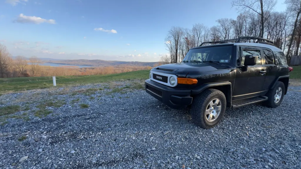
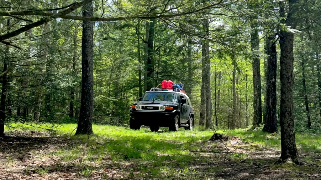
Have FJ. Will Travel.